
TRIP REPORT PHOTOS
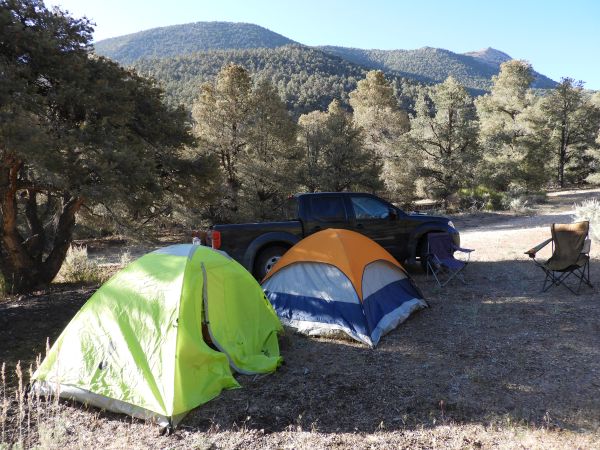
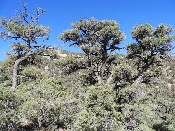
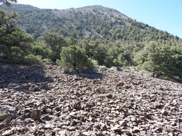
This beautiful campground along Phinney Canyon Road is also the starting point for the hike:
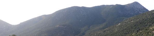
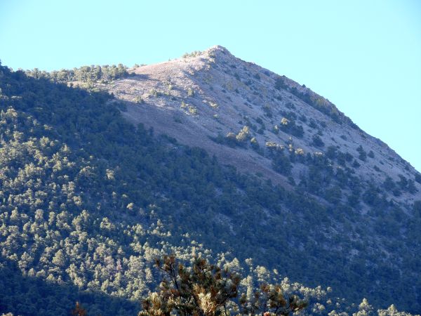
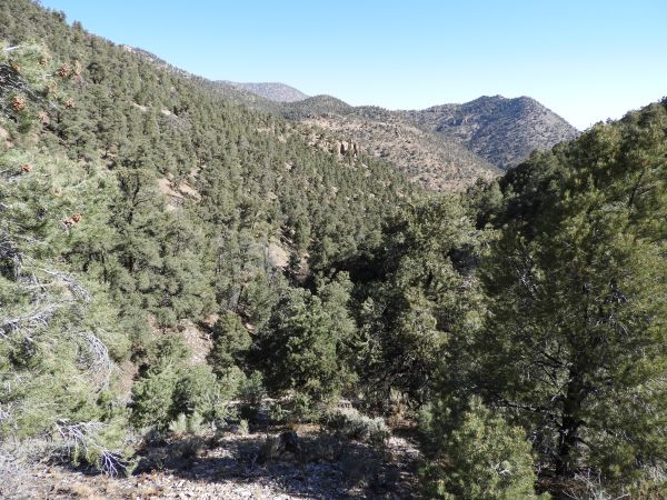
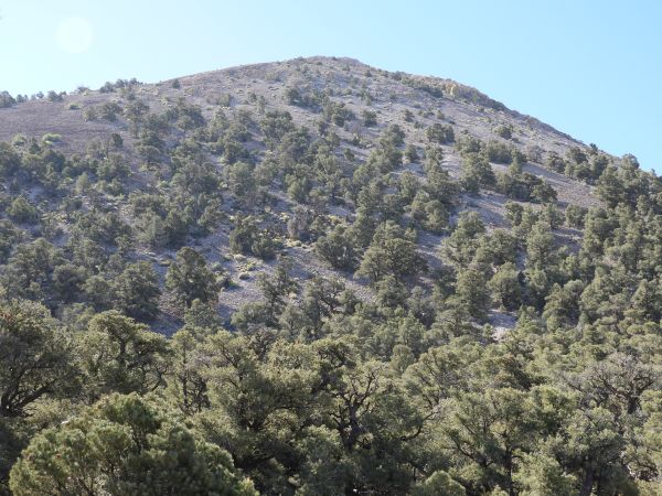
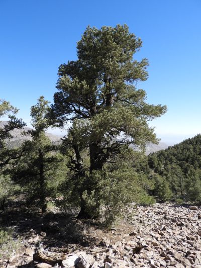
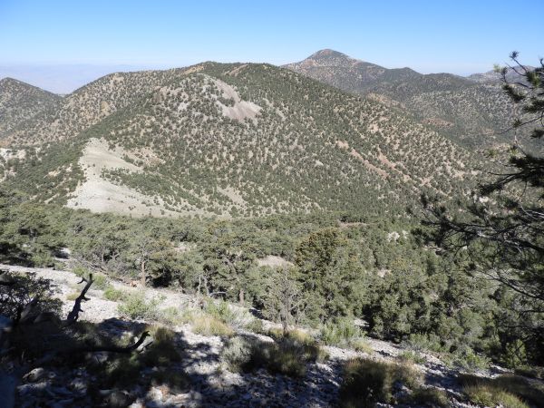
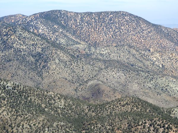
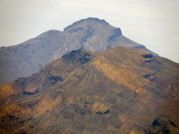
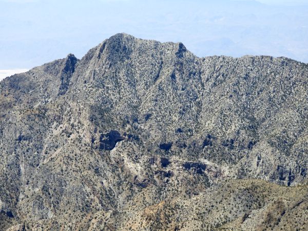
Notice that Wahguyhe Peak is actually visible from the campground:
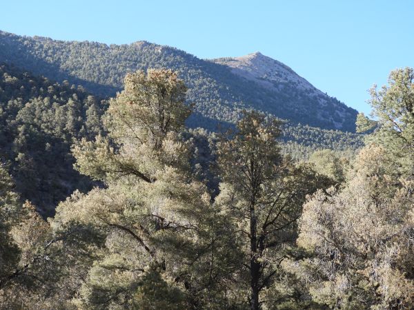
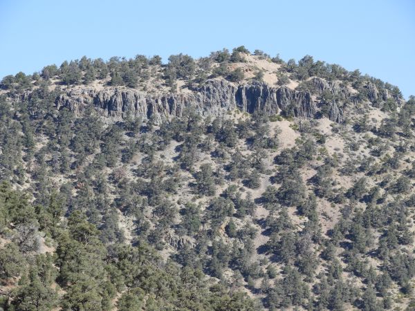
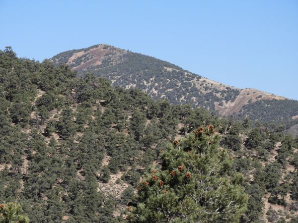
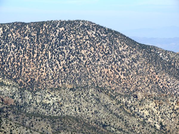
Zooming in on the distant summit located 2,000 feet in elevation above the campground:
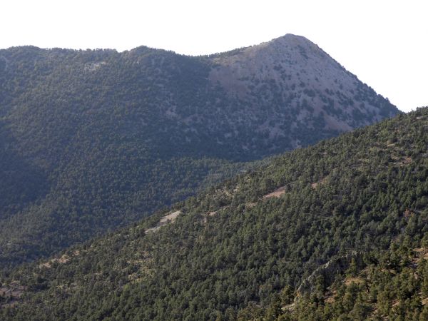
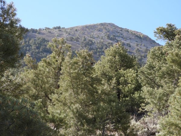
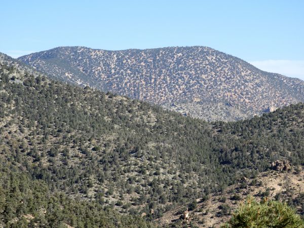
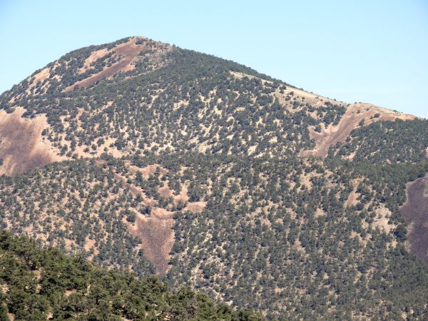
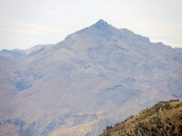
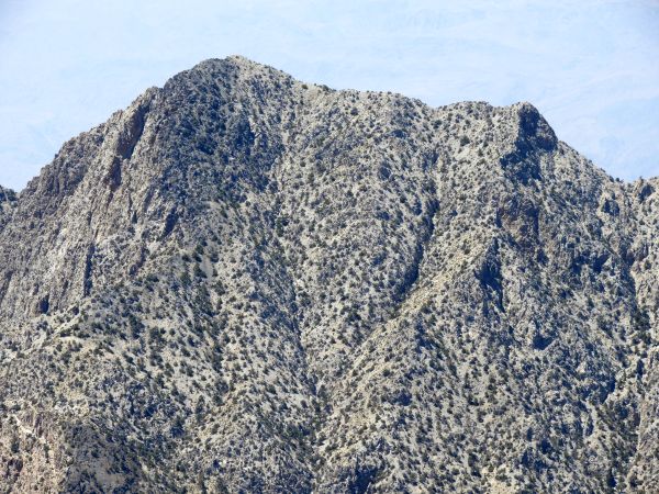
This view of Wahguyhe Peak was not taken during the hike, but during a hike up Phinney Canyon Road the next day. It provides another perspective of the cone-shaped summit:
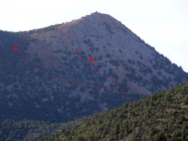
This is a rough sketch of the route we used to hike up to and back down from the summit:
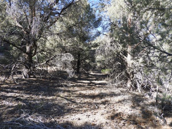
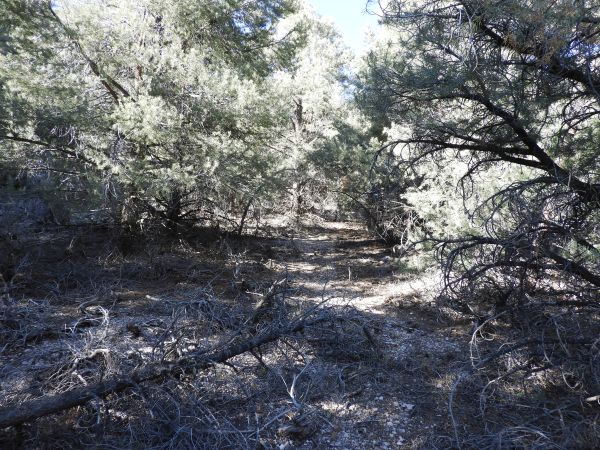
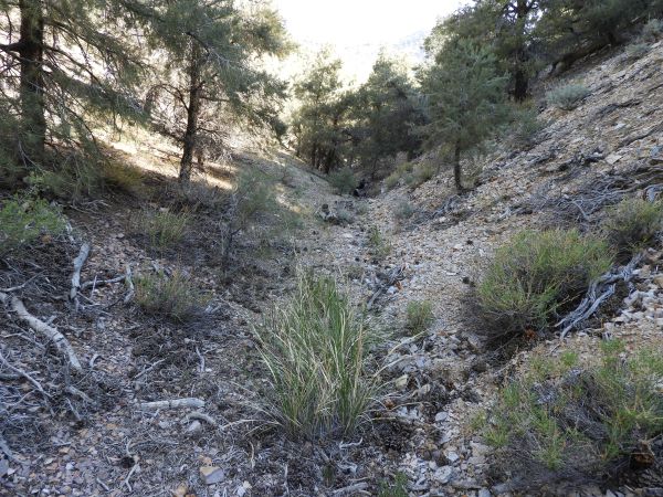
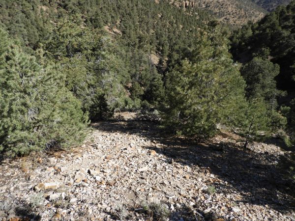
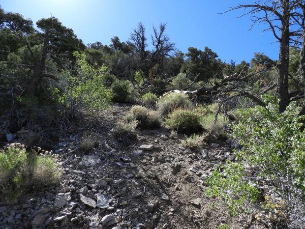
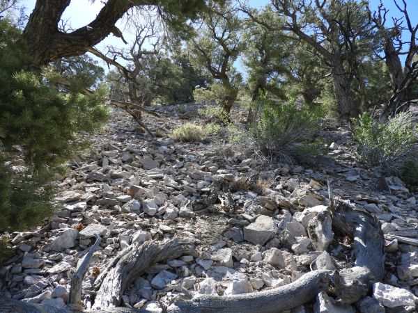
This is the first picture of the actual hike. Here we have entered the side canyon which splits off from the road and trends generally south:

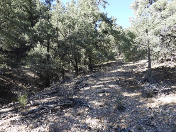
The small canyon is covered by pine trees which have to be navigated around. But the abundant shade helps keep hikers cool on hot days:
A faint use trail can be picked up to help navigate through the trees at times:
There are some fairly large trees through here which tower above the wash:
Wearing pants on this hike is a good idea because there is also brush dodging to do:
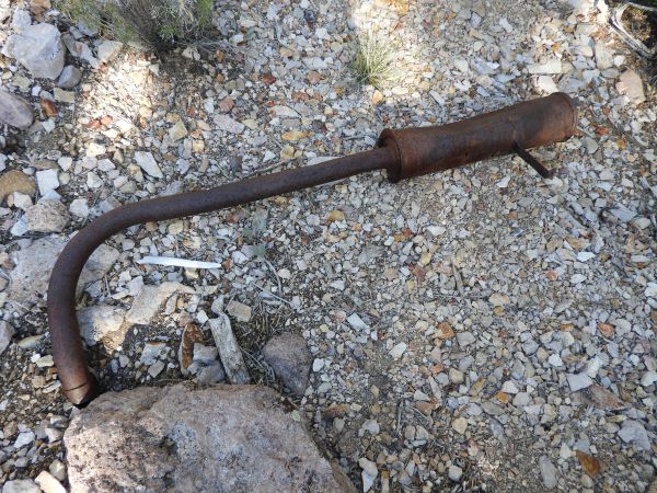
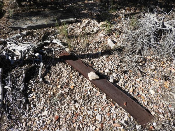
This looks like an old car muffler found down in the wash:
Likely another car part. There were other assorted artifacts nearby:
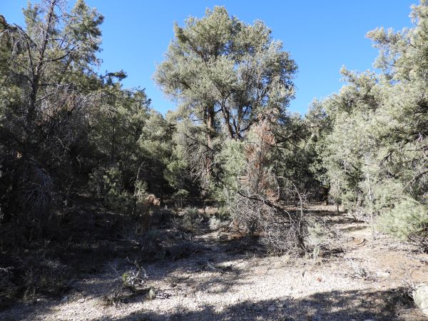
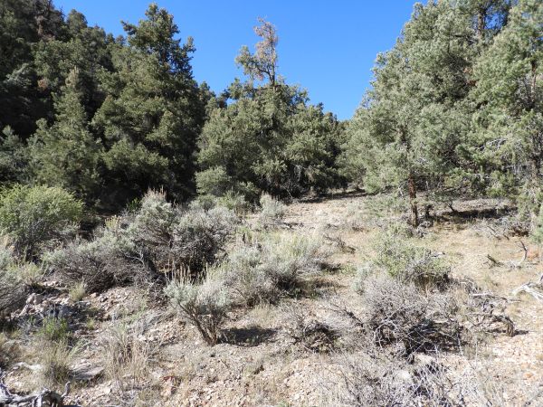
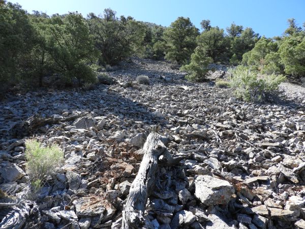
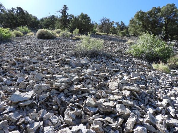
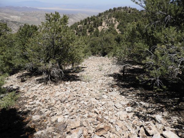
The first half of the hike has mostly easy hiking with only a gentle uphill slope:
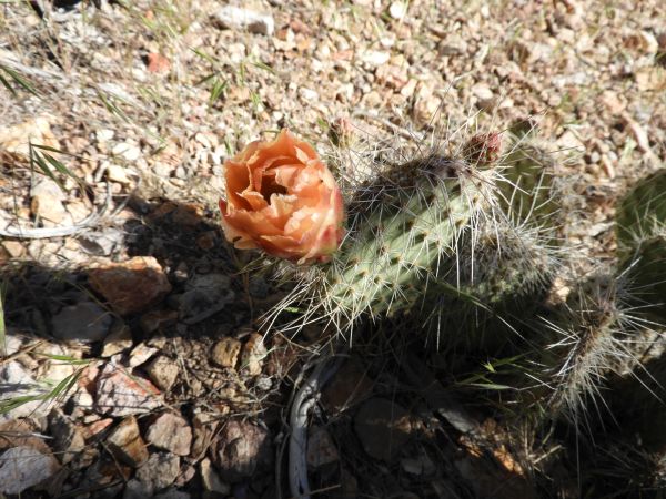
A Pricklypear cactus that was partially in bloom:
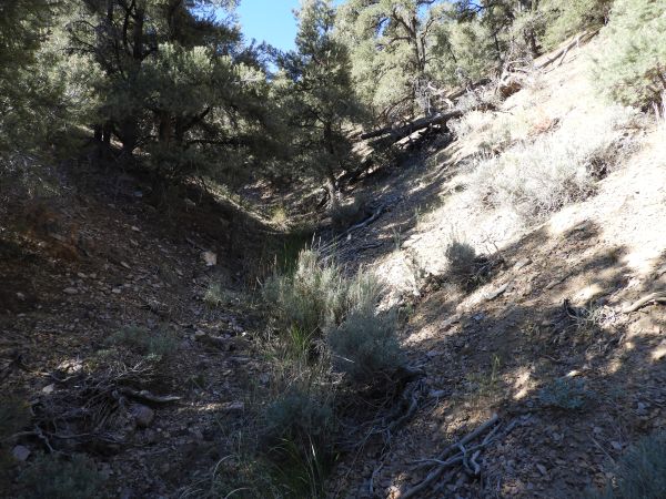
Notice here that the canyon wash is covered by trees so we found it necessary to hike along the bank:
At other spots, we could hike directly through the narrow wash:
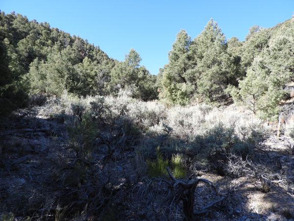
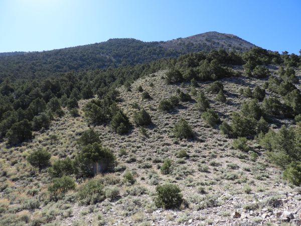
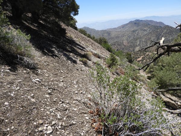
The hillsides above the wash sloped upward at steep angles here:
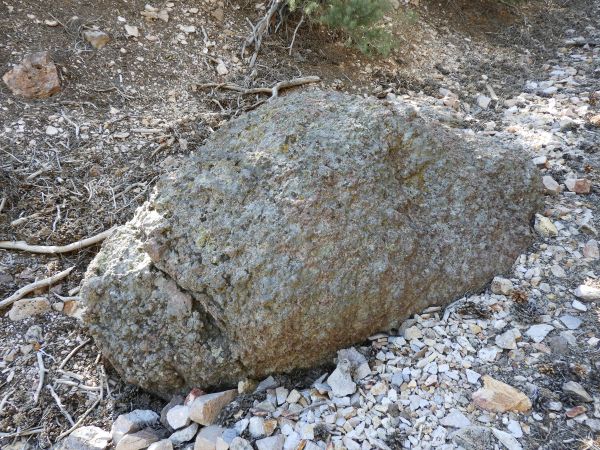
This is the "football" rock described in our guidebook as a location marker during the hike:
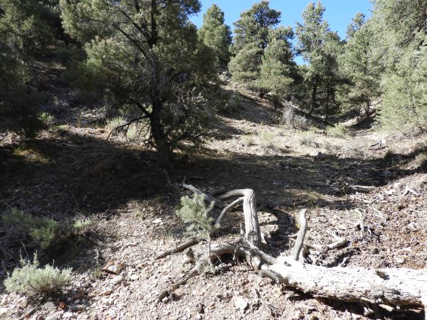
A short distance past the "football" rock, we came to this junction and began climbing the hillside:
Looking back down after climbing a short distance up the hillside, which was already a lot steeper:
Gaining a little bit more elevation and looking back. You can see what the hillside terrain looked like so far:
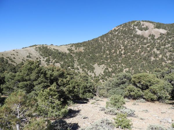
The summit block of Wahguyhe Peak came into view high above us:
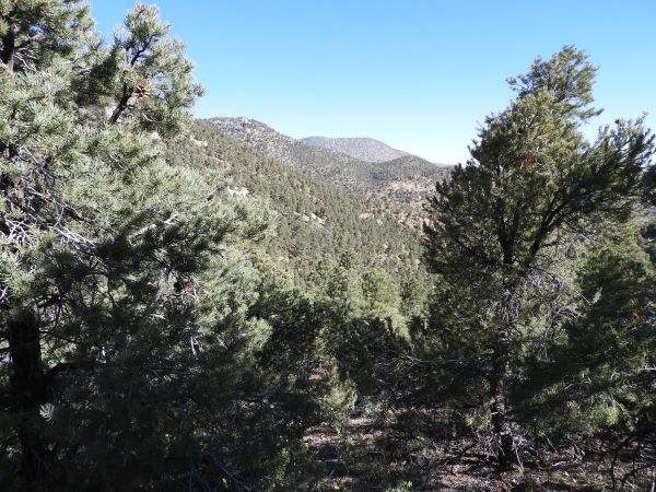
Looking back through the trees, a certain prominent peak began coming into view far in the distance:
Coming across three very unique trees with bare sections of trunk and greenery up high:
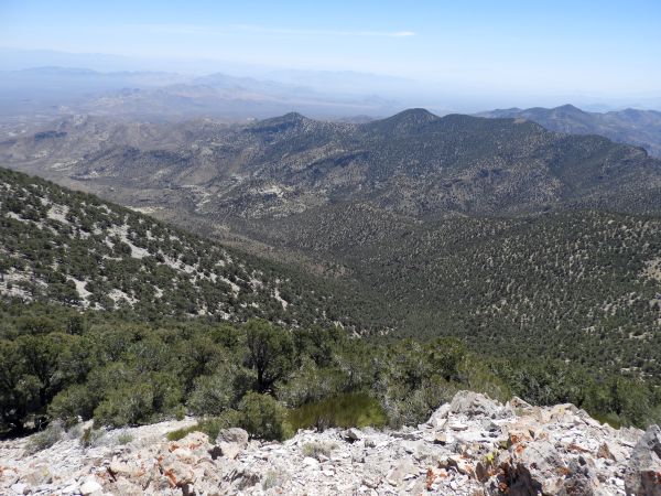
Looking back, we could see the small headwall which is just below the first bump on the hike to Grapevine Peak. Tomorrow we would be standing above this area:
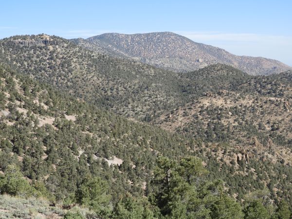
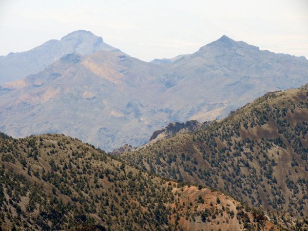
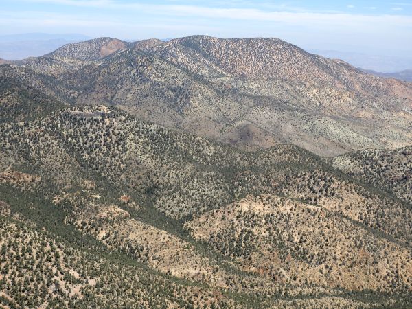
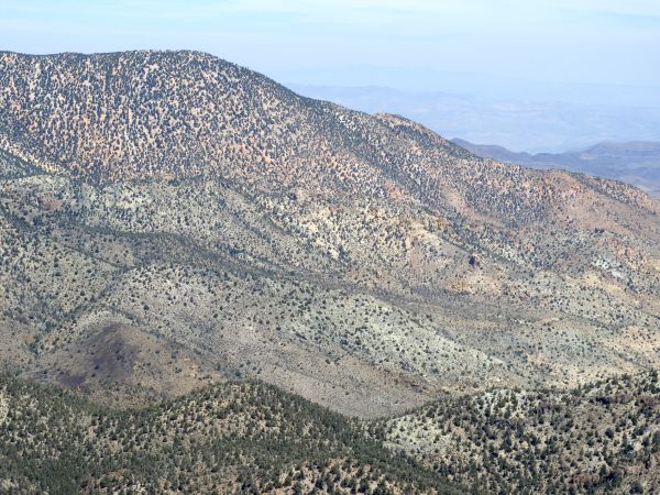
The prominent peak which now came into better focus was Coyote BM (8,570 feet):
Zooming in on the summit of Coyote BM, which is only 58 feet lower in elevation than Wahguyhe Peak:
Tobin standing on the first plateau reached during the hillside climb. The second plateau can be seen just above him:
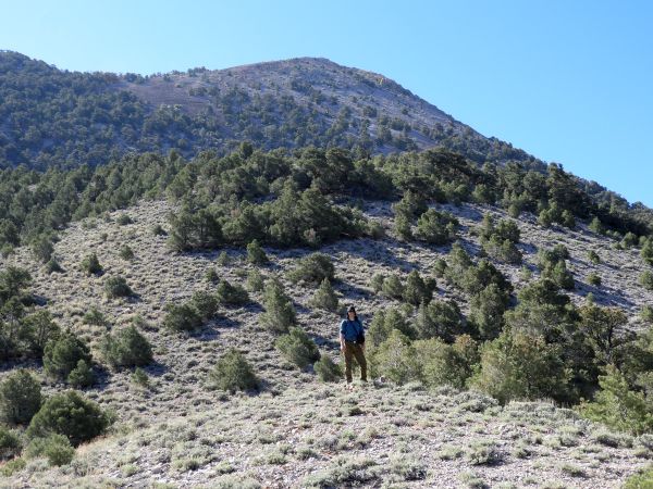
A picture of me standing on the first plateau:
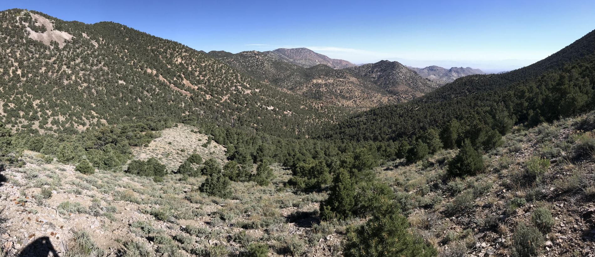
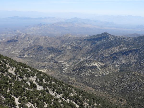
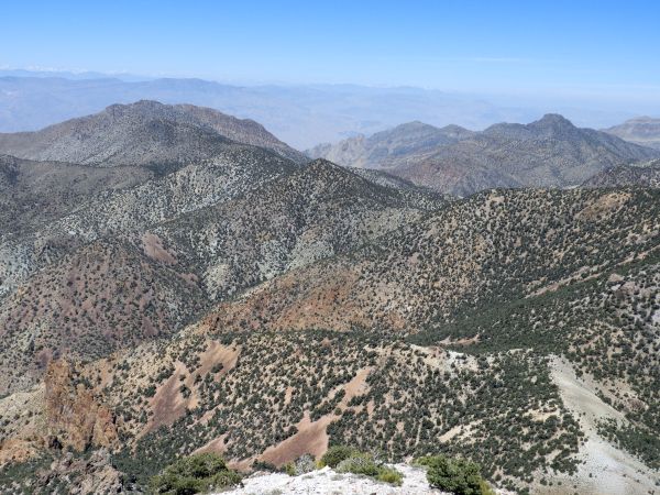
Phinney Canyon cuts across the middle of the picture. The Grapevine Peak hiking route headwall can be seen at the upper left:
The slopes to the east look like a potentially more gentle climb up to the summit ridgeline:
Now climbing the small section of hillside in between the first plateau and second plateau:
View to the west showing the ridge route which connects the Phinney-Moonlight saddle with the western Wahguyhe ridgeline:
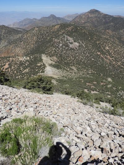
Panoramic looking down from the second plateau on the Wahguyhe Peak hike (click to enlarge):
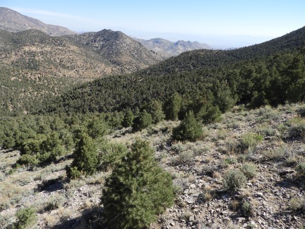
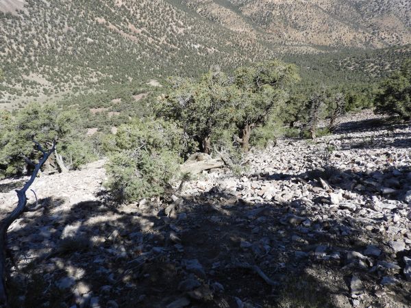
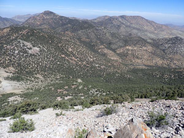
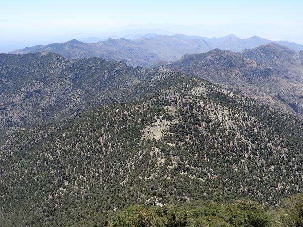
Notice that the forest is less thick on this hillside in comparison to others to the east:
A tall tree with several very large branches:
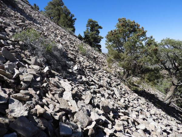
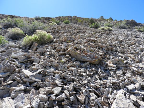
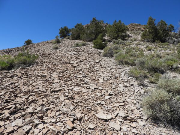
The scree climb begins at the top of the second plateau. At first, the scree is not too hard to deal with because the slope is not that steep:
Looking ahead at the final 1,000 foot climb in elevation to the summit:
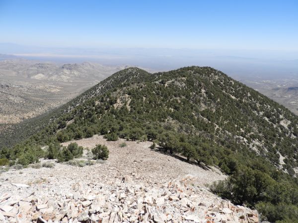
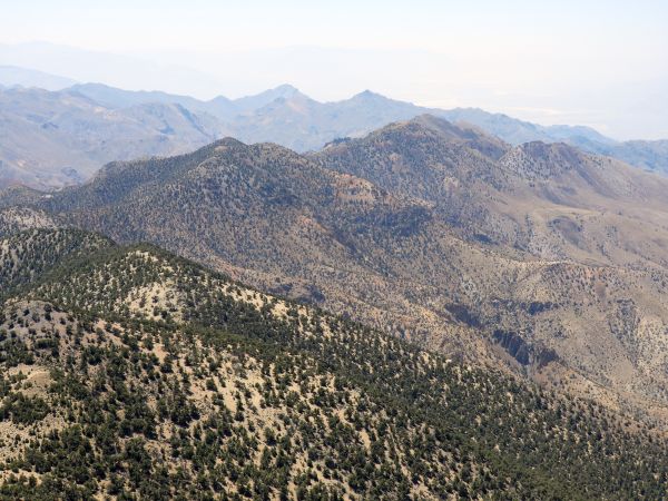
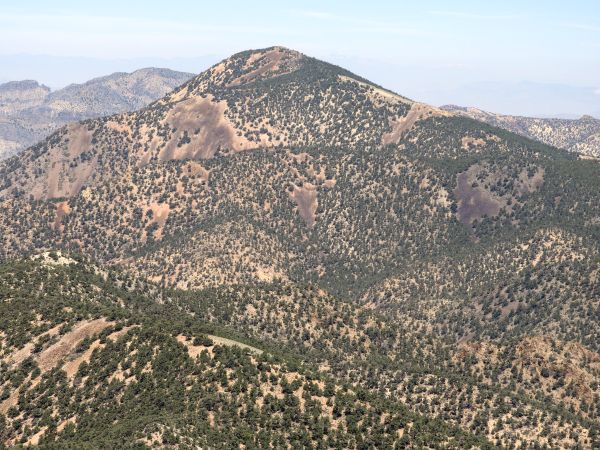
Grapevine Peak, the highest point in the Grapevine Mountains, comes into view:
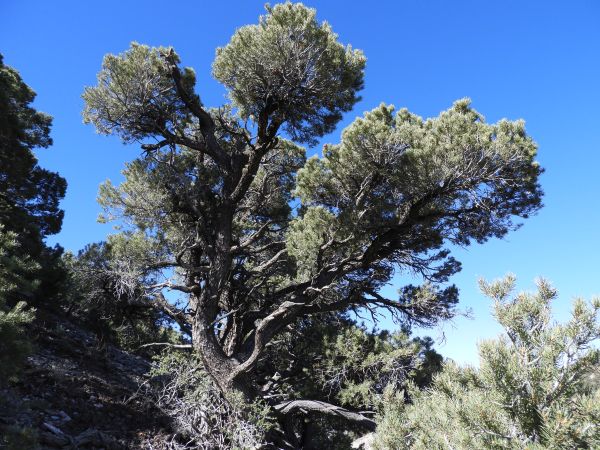
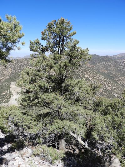
I tried to get pictures of some of the more beautiful and impressive trees during the climb:
A mixture of loose scree and forest trees as the slope begins getting steeper:
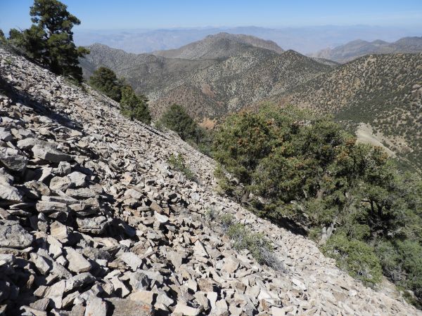
The terrain became very hard to deal with from this point on. Look at the deep layer of scree we were trying to hike on:
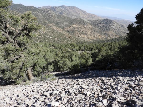
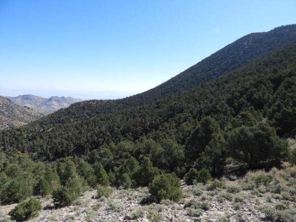
It's amazing how much of a pine forest covers the eastern Grapevine Mountains:
Hikers who use the ridge route from the Phinney-Moonlight saddle have to climb back up the 500 feet in elevation seen in the distance here on the return hike:
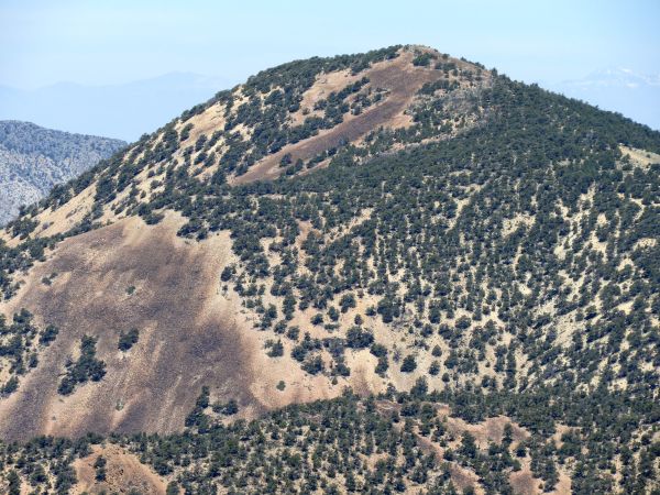
Zooming in on the colorful rock slide patterns of Grapevine Peak:
We managed to find a brief break from the loose scree by heading slightly east into the forest:
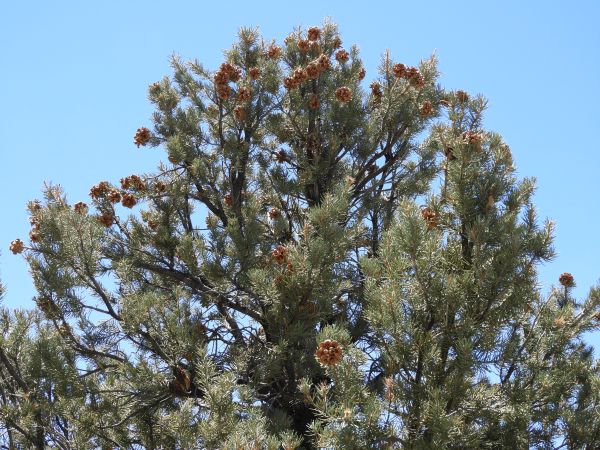
A tall pine tree with pinecones visible at the top:
We couldn't completely avoid the nasty scree even when we tried to seek out better terrain in the forest:
The slope got considerably steeper the higher we climbed:
Views of the northern Grapevines became more incredible as we gained elevation:
This true perspective angle shows how challenging climbing the scree really is:
Looking across the steep slope toward the Palmer ridgeline, Cottonwoods, and distant Sierras which were now visible:
Tobin struggling mightily to deal with the nonstop barrage of loose scree:
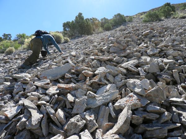
It took us considerable time and effort just to make it up a small section with all the sliding backwards and small landslides our steps would cause:
There was just no easy way to make progress uphill with nothing to hold onto and no solid rocks to step on:
Looking over at the longer ridge route which we had originally considered using (but were glad we didn't):
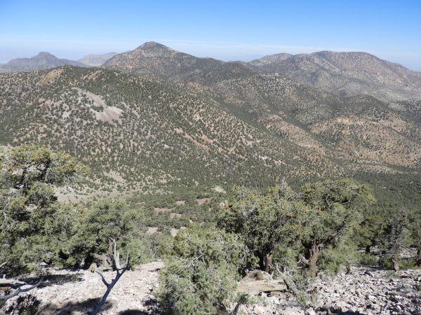
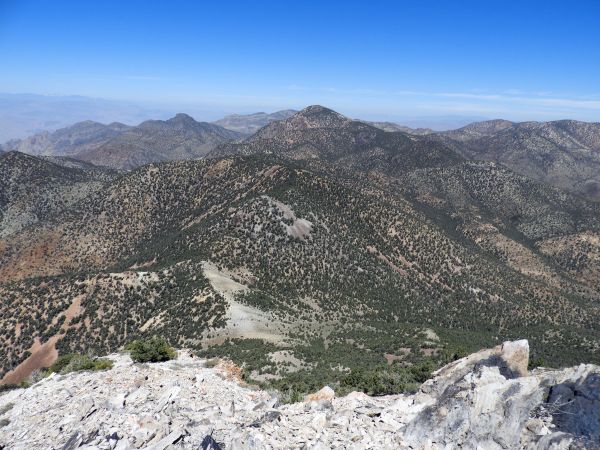
Grapevine Peak and Coyote BM dominate the landscape of the northern Grapevines:
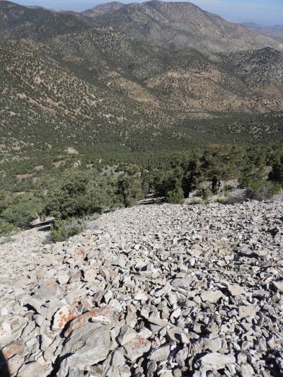
Zooming in far below, we could see where Phinney Canyon Road makes its final turn and heads for the saddle:
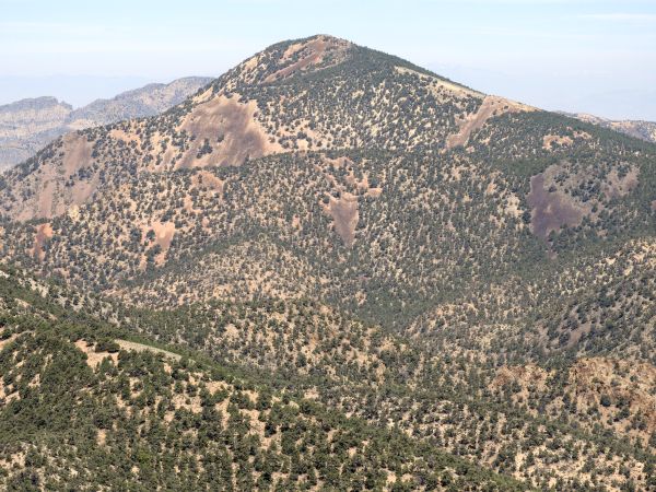
Taking a closer look at the slopes of Grapevine Peak as seen from this vantage point:
Coyote BM is the right side peak. An interesting note about Coyote BM is that the left side peak is actually 2 feet higher in elevation than the main named peak:
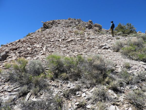
The difficulty never let up until we finally reached the summit ridgeline, seen up ahead:
Scree field panoramic looking down as we neared the top of the steep slope (click to enlarge):

Looking northeast at a couple of prominent bumps along the summit ridgeline:

Tobin nearly to the summit. All that is left is to climb through the steep outcroppings seen here:
Hiking along the top ridge was so much easier than climbing the slopes:
We have now reached the summit of Wahguyhe Peak (8,628 feet) and are looking east toward the Strozzi Ranch area:
Zooming in a little bit, the prominent little peak at the top center of the picture is Sawtooth Mountain (6,005 feet) which is the high point of the Bullfrog Hills:
View to the southeast showing the southern Grapevine Mountains:
View a little bit more to the south, showing how the Grapevines drop off to the west:
Two major Grapevines summits can be seen side by side here. They are Corkscrew Peak and Thimble Peak:
Corkscrew Peak (5,804 feet) is the lower of the two, but the more difficult hike to carry out:
Thimble Peak (6,381 feet) is a short hike with a few challenging sections in route to the distinct summit top:
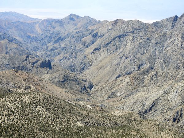
There is a very impressive view of upper Fall Canyon from the summit of Wahguyhe Peak:
Looking across at the ridgeline of Mount Palmer, a very hard hike that I had done three years earlier:

Notice that there appears to be an inaccessible cave about halfway down the mountain beneath the summit of Mount Palmer:
A close-up of the Mount Palmer summit block. The biggest obstacle to reaching the summit is the steep challenging part seen on the right side of the picture:
View directly to the west shows more of the long ridge route leading to Mount Palmer as well as an unnamed prominent peak (right side) which divides Moonlight Canyon and Backthrust Canyon:
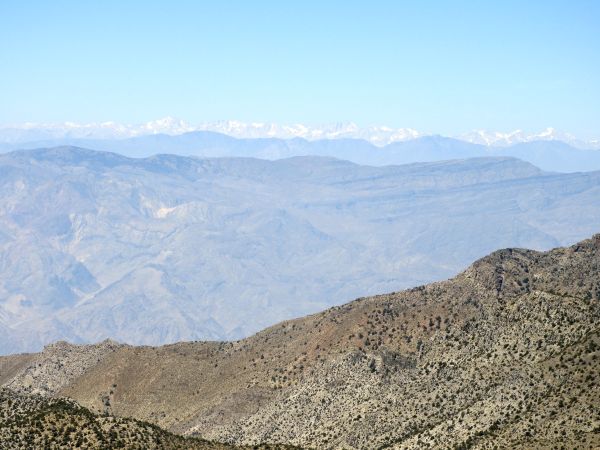
The snow-capped Sierras far in the distance were clearly visible on this nice day:
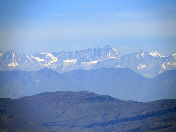
Zooming in on the prominent Sierra peaks above the Lone Pine area. Starting at the center and heading right, they are Mount Whitney, Mount Russell (14,088 feet), and Tunnabora Peak (13,563 feet):
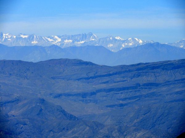
The view of Mount Whitney, which at 14,494 feet is the highest peak in the contiguous United States, was extremely impressive. (Note that there is some debate as to the exact height of Mt Whitney, so we used the NPS published height as of 2017):
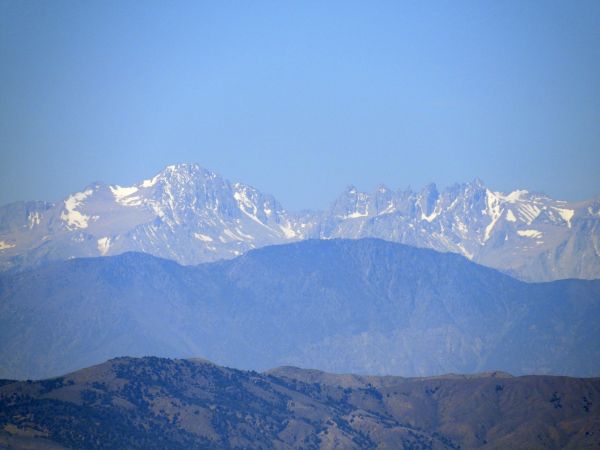
A couple of other Sierras peaks also visible were Mount Langley (14,025 feet) on the left and Mount LeConte (13,930 feet) on the right:
Looking over at the actual summit bump, where Tobin was currently signing into the register:
Grapevine Peak (8,738 feet) is visible looking to the northwest:
Grapevine Peak is only about 3 air miles away from Wahguyhe Peak:
Grapevine Peak can be identified easily because of the colorful rock slide patterns on the south side of the mountain:
Coyote BM stands out prominently when looking to the north:
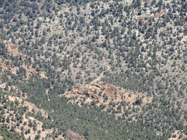
Zooming in on the canyon area beneath Coyote BM along with the hiking ridge leading up to the summit:
Coyote BM is currently the top summit hike on my To-Do List, which I hope to get to later this year:
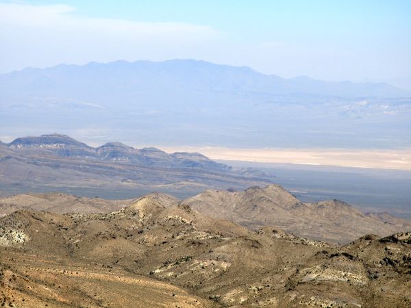
This final view shows a dry lake bed on Sarcobatus Flat along with Stonewall Mountain (8,318 feet) in the distance:
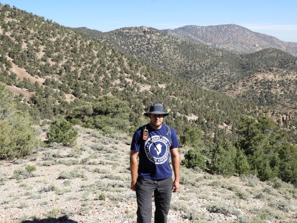
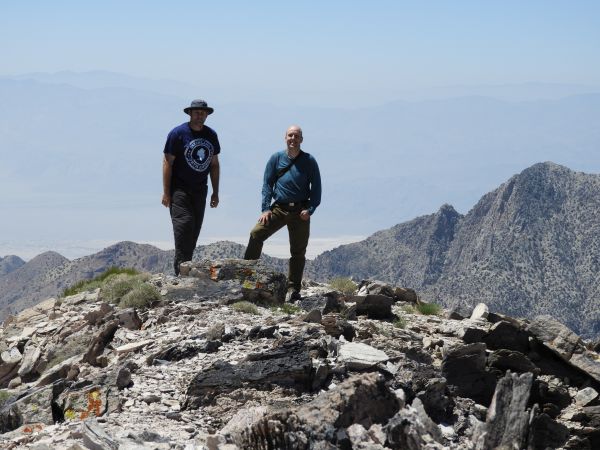
Pictures of myself and Tobin with Grapevine Peak in the background:
Pictures of myself and Tobin with Mount Palmer in the background:

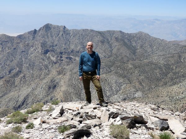
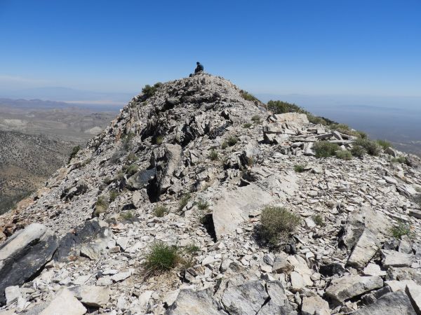
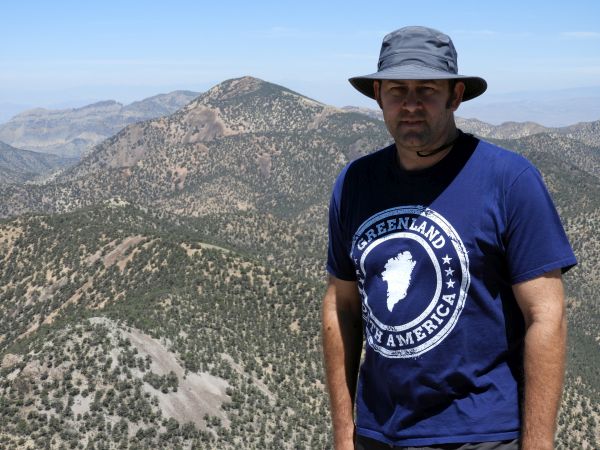
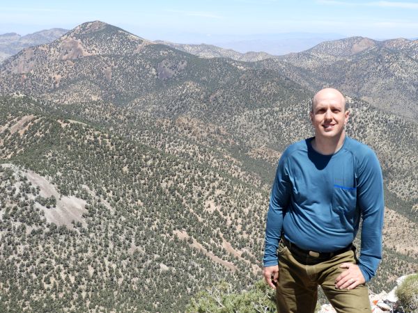
Standing on the summit of Wahguyhe Peak:
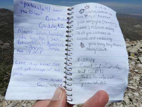
The most recent register entry pages had some familiar names from Death Valley NPS, as seen in the next two pictures:
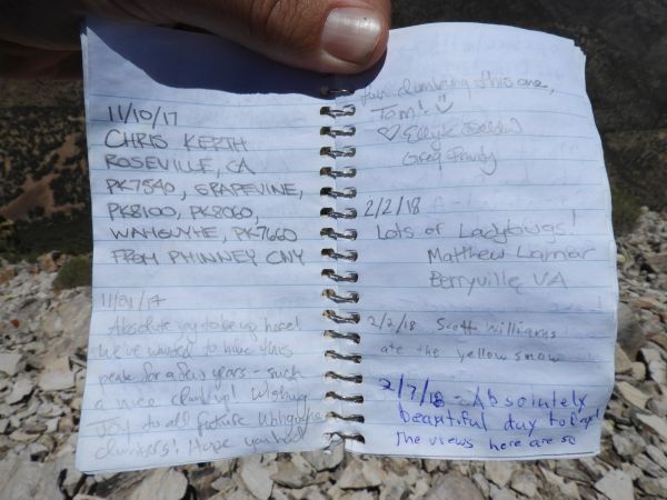
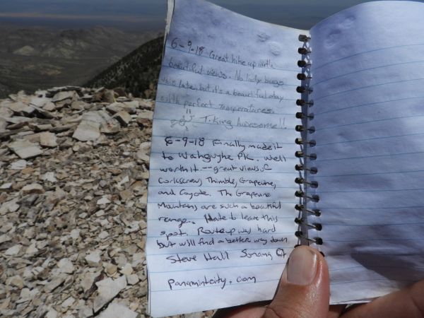
Register entries made by myself and Tobin on our June 9, 2018 hike:
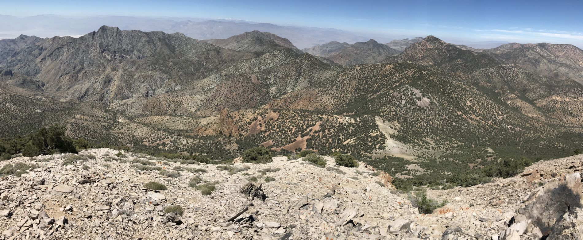
Summit view panoramic showing Mount Palmer, Grapevine Peak, and Coyote BM (click to enlarge):
The final four pictures were taken during the hike back. Here we are trying to angle more into the forest to avoid some of the scree:
This comparison picture shows the contrast between the forest dirt soil and the barren scree slope just beyond:
A tree loaded with pinecones near its top:
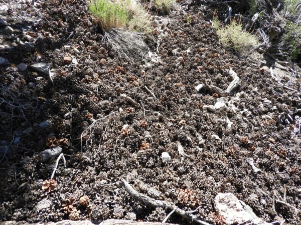
Ground cover made of an abundance of fallen pinecones: