

As part of our Summer 2012 trip to northern Arizona and southern Utah, we wanted to spend a full day at the North Rim of the Grand Canyon. While Daria and Renee would spend the day driving to various overlook points to take some great photographs, the rest of us wanted to spend the day hiking. Upon completing my research, I found out that the best day hike out of the North Rim was on the North Kaibab Trail. Starting from the trailhead (which is a short distance away from the Visitor's Center), we would take the North Kaibab Trail down into the canyon passing such spots as Coconino Overlook, Supai Tunnel, Redwall Bridge, and Redwall Limestone cliffs, before arriving at Roaring Springs. The trail continues past the turnoff to Roaring Springs down to Cottonwood Campground, Ribbon Falls, and ultimately reaches Bright Angel Campground. But those destinations are not recommended for day hikers, so we would leave those for another trip (perhaps a rim-to-rim hike someday in the future). Day hikers are encouraged by the park service to stop at Roaring Springs. And really, it makes a great destination for the day. There is fresh water there and a nice picnic table to enjoy your lunch on before the grueling hike back up. Plus, the cascading water of Roaring Springs is pretty to look at while hiking down the trail. As the hike starts out at the top, the trail is very sandy and dusty. Since we started our hike in the early afternoon (morning starts are recommended by the park service), we had the luxury of hiking alone most of the time. We made good time going down and we all agreed that the views as we descended were positively breathtaking. The scenery of the Grand Canyon area that we hiked through (including Roaring Springs Canyon and views of Bright Angel Canyon) was quite remarkable. I can't tell you enough how special that made this hike. But perhaps my pictures below will give you some idea. As we hiked back up in the late afternoon, clouds and the canyon walls provided shade from the hot summer sun. One issue we had hiking back out from Roaring Springs was the nonstop harassment by wasps. This was something we did not expect, and Mel actually got stung twice by one of the wasps. So hiking back up was not that enjoyable because we were constantly running fast up the trail when wasps would buzz us. But outside of the wasp issues, we loved every minute of this hike and highly recommend it to everyone.
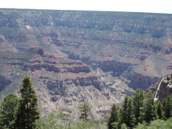
Viewpoint of our hiking area of Roaring Springs Canyon and Bright Angel Canyon as seen from above at the North Rim of the Grand Canyon:
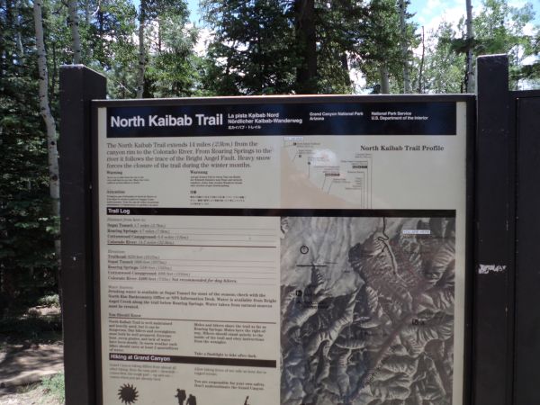
North Kaibab Trailhead sign at the starting point for the hike (8,241 feet in elevation):
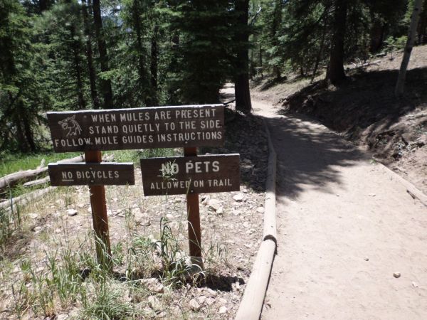
Info about allowing groups of mules to pass by if you encounter them while hiking:
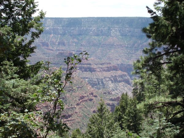
First view through the trees of the grand scenery while hiking down:
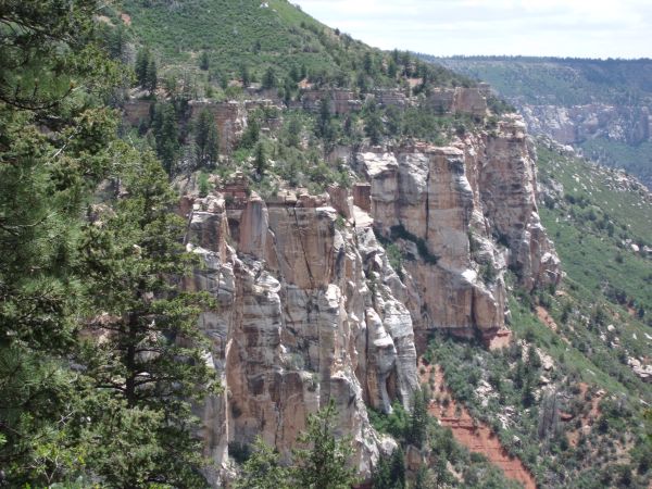
Pretty white cliffs off in the distance. The neat thing about this hike is that it passes through many rock layers and formations while descending some 3,021 feet in 4.7 miles:
Broken tree trunk seen as we look out at the view:
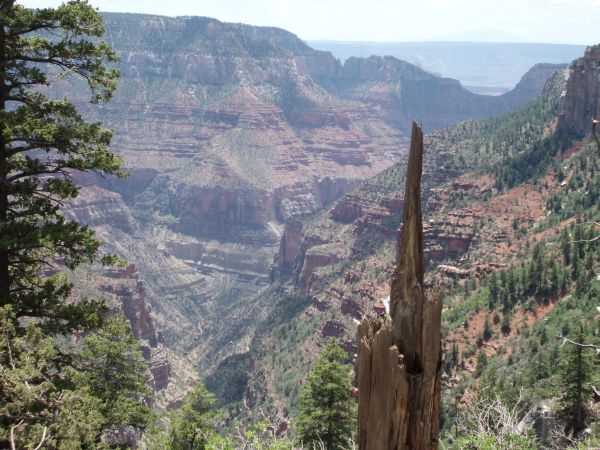
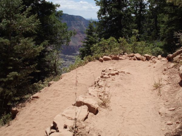
The trail starts off with a series of switchbacks early on that are easier to go down than back up:
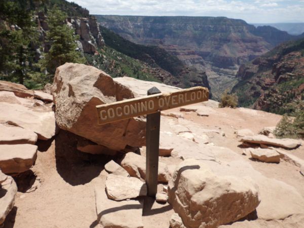
The Coconino Overlook is about 3/4 mile from the trailhead. A worthy destination even if you're not doing this entire hike:
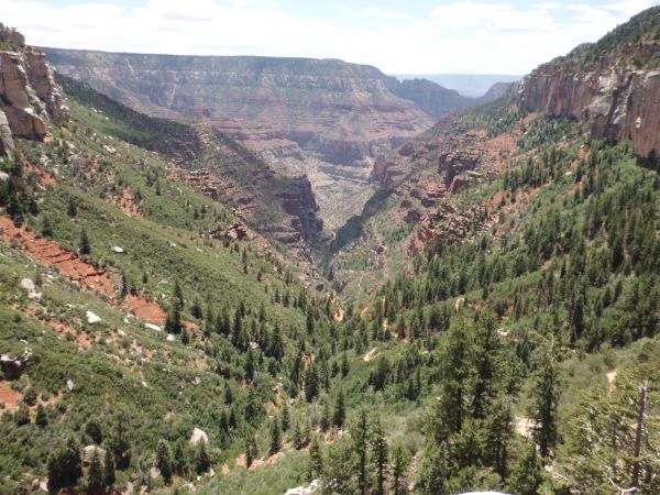
This is the view looking straight down Roaring Springs Canyon from the Coconino Overlook:
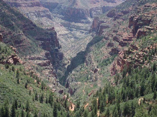
Far below we could see the trail we would be hiking on later in the day:
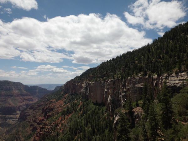
Some clouds rolled in providing some relief from the hot sun. This hike can be dangerous if hikers are unprepared:
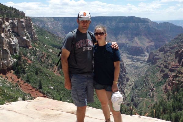
This was my sister's 1st trip to the Grand Canyon and my 3rd:
Panoramic of the Grand Canyon scenery as seen from Coconino Overlook (click to enlarge):
More switchbacks as we continued down the trail:
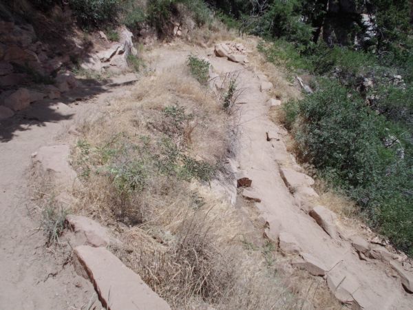
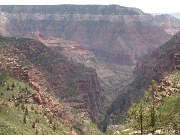
It was views like this that made us stop and appreciate the beauty:
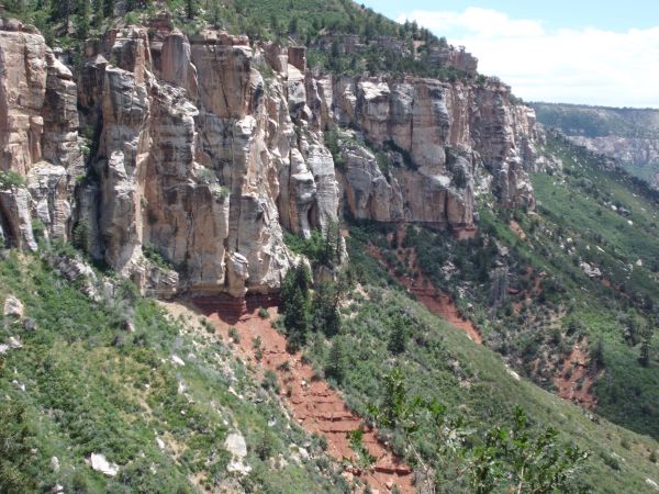
White and black rock walls with a landslide of red dirt below:
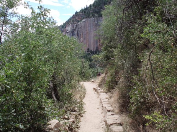
The trail passes between some thick brush. These are the kinds of areas where we had to run through on the way back up to avoid the wasps:
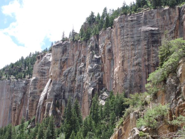
Steep cliffs drop off from the North Rim area high above us:
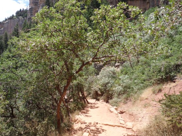
Lush greenery and trees were found all along the trail:
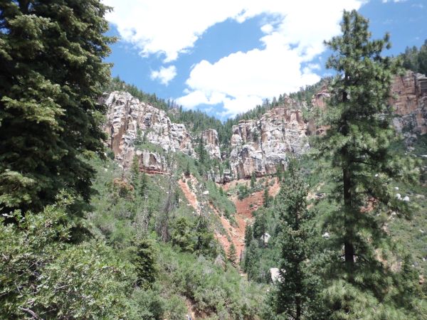
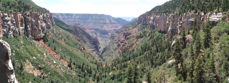
Looking back up toward the head of Roaring Springs Canyon back where we started:
The red dirt of the trail remained thick and sandy, which required us to keep space between hikers to avoid eating dust:
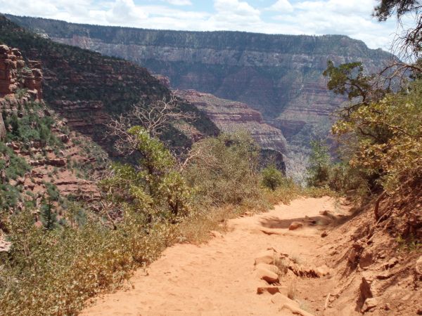
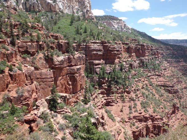
On the left side, we passed by these layered red cliffs:
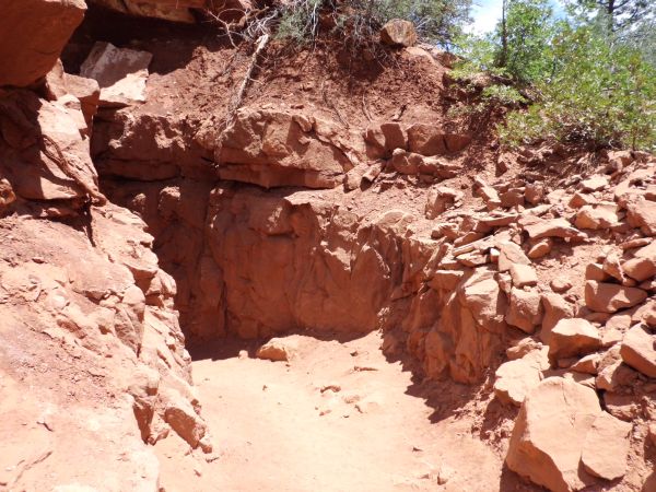
After passing by a drinking fountain and some restrooms, we approached the first major destination:
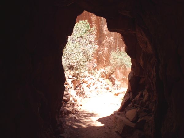
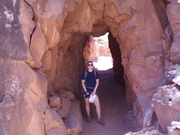
This is the short Supai Tunnel which is 1.7 miles from the start and 6,800 feet in elevation:
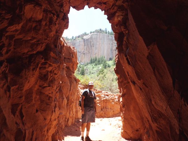
Steve at the entrance to the Supai Tunnel:
Tiffany coming out of the Supai Tunnel. The Civilian Conservation Corps blasted this tunnel through Supai Group rock during the 1930s:
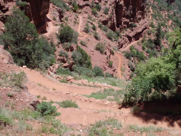
Below the Supai Tunnel, some steep switchbacks descend quickly down the hillside:
Panoramic taken from this spot just outside of the tunnel before descending (click to enlarge):
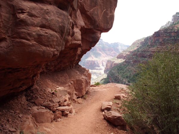
Rounding a bend in the trail and passing under an overhanging rock:
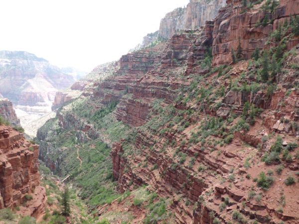
Awesome view looking to the right on this portion of the trail:
The trail passes under a red rock wall as it winds toward the next destination:
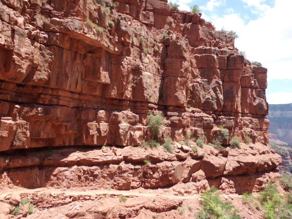
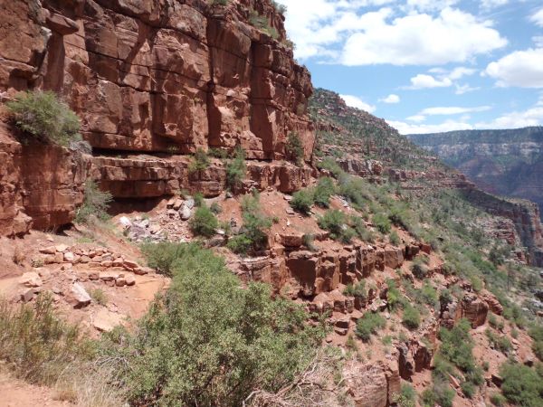
More views off to the left just past the red rock wall:
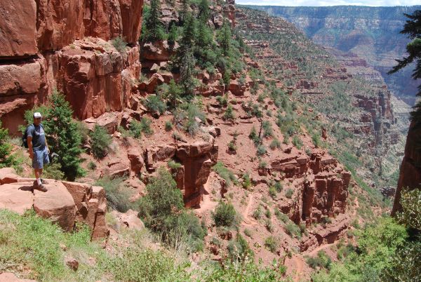
Picture of Steve taken at this spot with grand scenery in the distance:
The top of the North Rim gets higher as we continue dropping into the canyon:
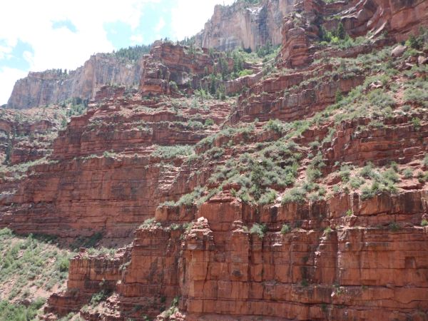
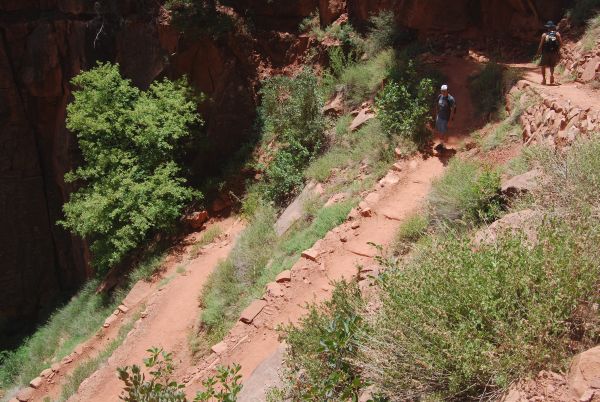
Steve and Mel heading down some more switchbacks:
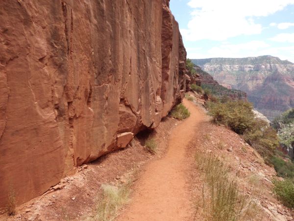
The trail narrows while passing between a rock wall and steep hillside:
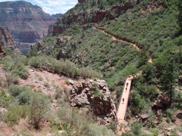
Catching sight of Redwall Bridge as four hikers are crossing over it:
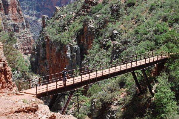
Steve standing on Redwall Bridge (6,062 feet in elevation):
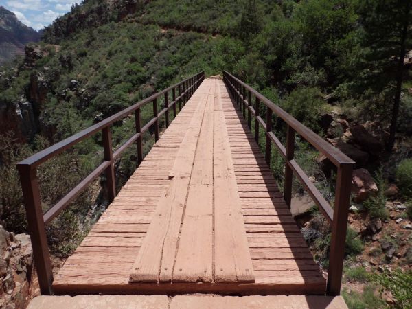
Redwall Bridge is said to be the halfway point of the hike in between the starting point and Roaring Springs:
A Kaibab century plant can be seen at the bottom middle of this picture:
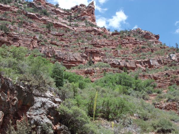
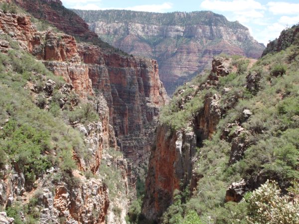
View looking down the narrow section of Roaring Springs Canyon from the middle of Redwall Bridge:
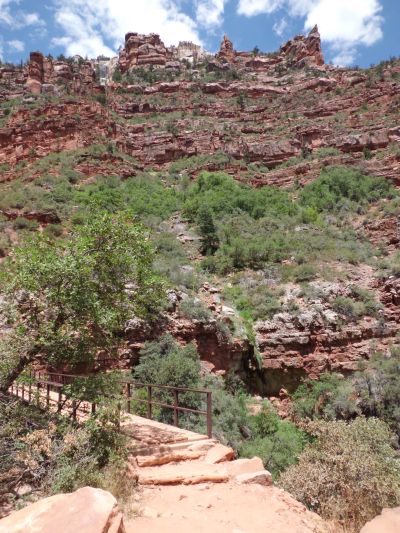
Reaching the other side of the bridge and continuing the hike:
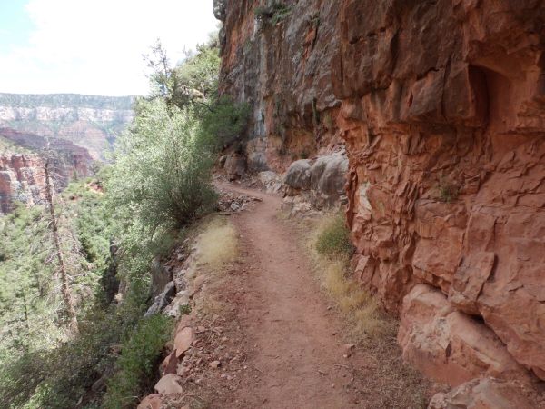
Passing by a very narrow ledge with a huge drop-off. These drop-offs would increase in scale from here on out:
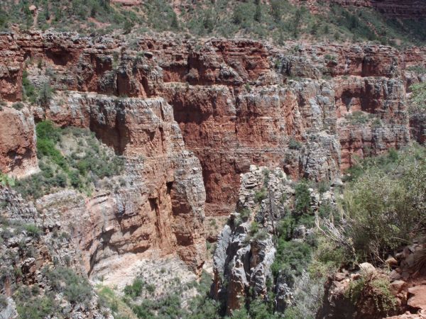
Looking across the way at the other side of the canyon:
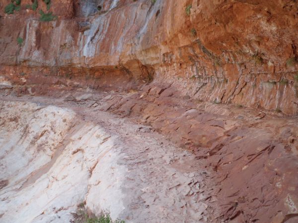
This half tunnel-like curve in the trail was obviously blasted out of the rock. The Redwall Limestone area starts right about here:
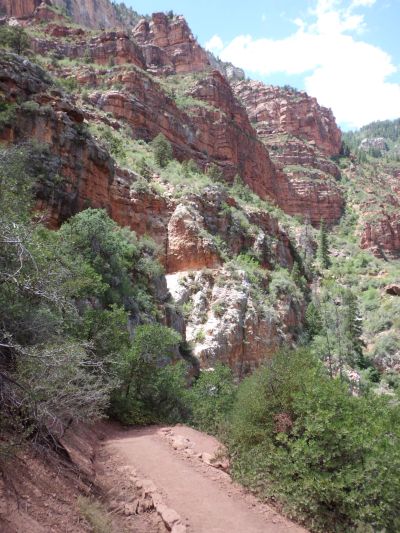
Now we really are deep into the canyon with towering walls above us:
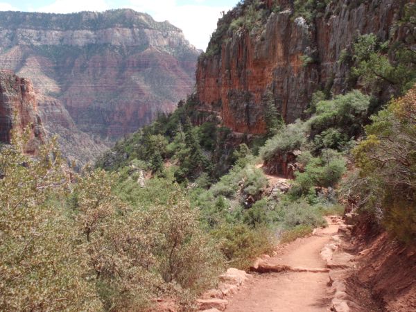
Very pretty scenery as the trail levels out and passes through some brush:
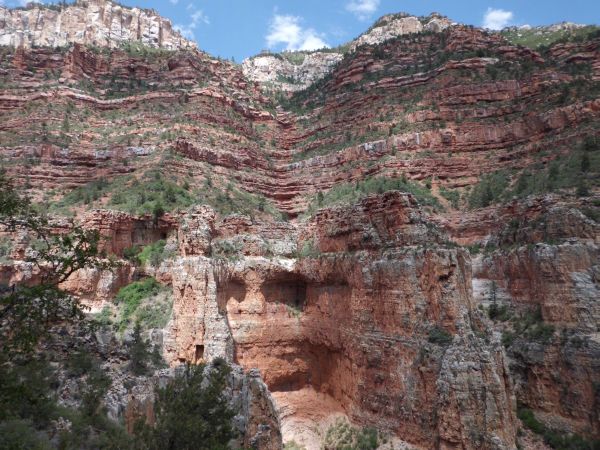
On the opposite side of the canyon there were massive steep walls:
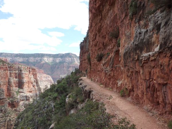
The Redwall Limestone area is not for those afraid of heights:
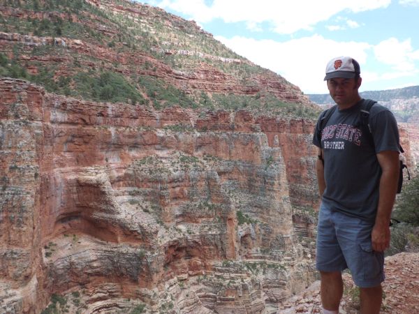
Steve at Redwall Limestone looking across the canyon:
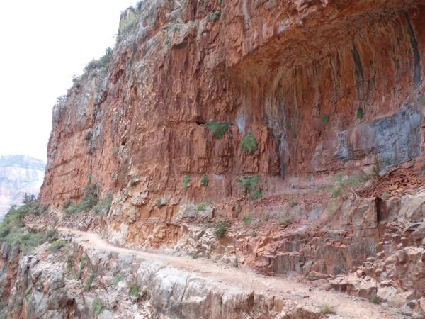
Redwall Limestone has towering cliffs with a trail passing right next to the wall:
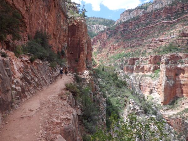
Incredible view of Redwall Limestone, Tiffany and Mel, and Roaring Springs Canyon looking back towards its head:
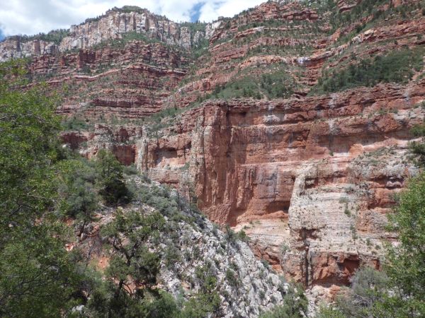
Different layers and levels of the cliffs create stunning scenery:
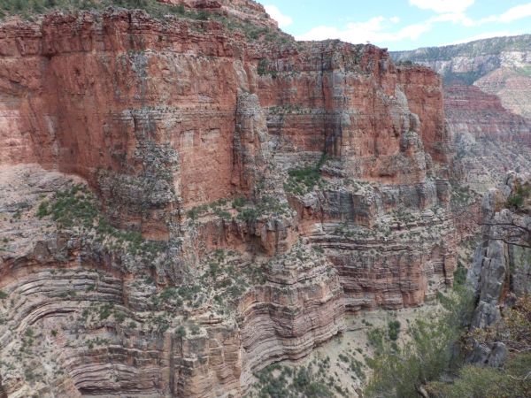
Check out the layered bands on the rock in the lower part of the picture:
With your eyes, follow the trail as it passes by a huge drop-off into an abyss:
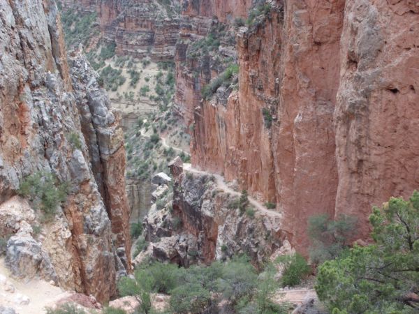
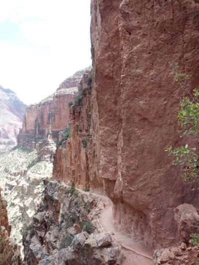
Two more scary pictures of Redwall Limestone and the drop-offs next to it:
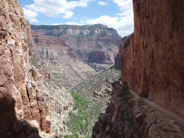
From this spot, we could see the trail winding towards its final destination at Roaring Springs:
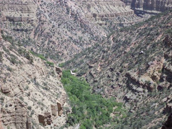
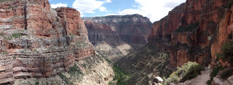
Beautiful panoramic with perfect lighting taken at Redwall Limestone (click to enlarge):
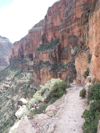
The trail continues on through a mostly level section by the cliffs:
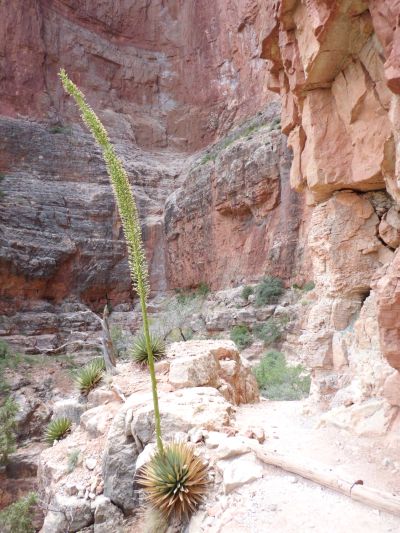
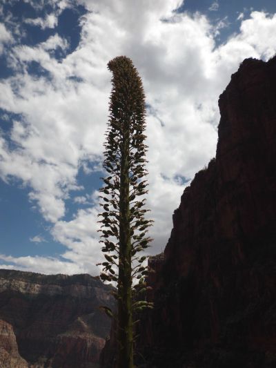
Two more views of a Kaibab century plant seen along the trail. Does it really only flower after one hundred years?:
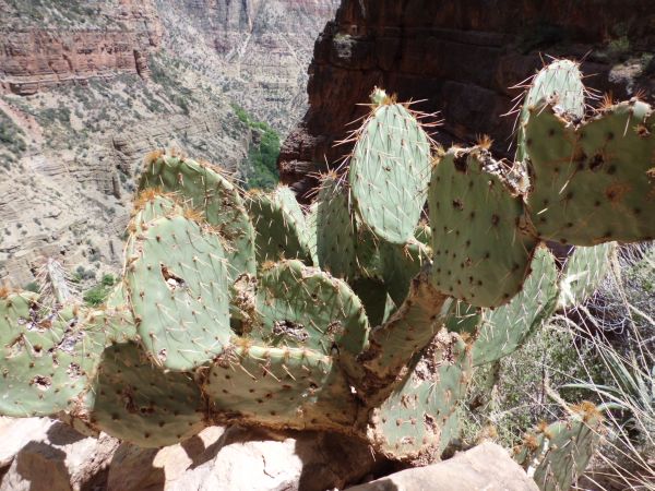
We found this Prickly Pear sitting on a ledge a short distance later:
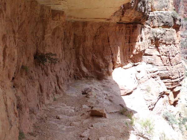
Another area which looks like it was blasted out in order to continue the trail:
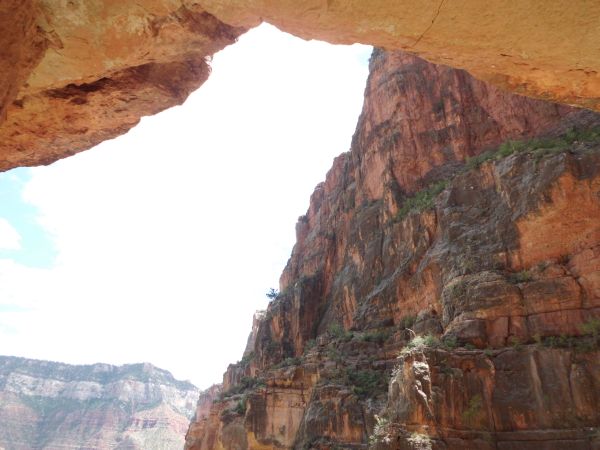
Two pictures taken from under the overhang of the blasted part:
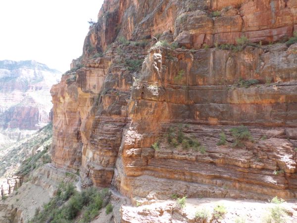
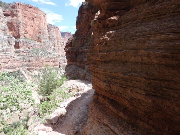
Staying on a narrow ledge trail in the next two pictures:
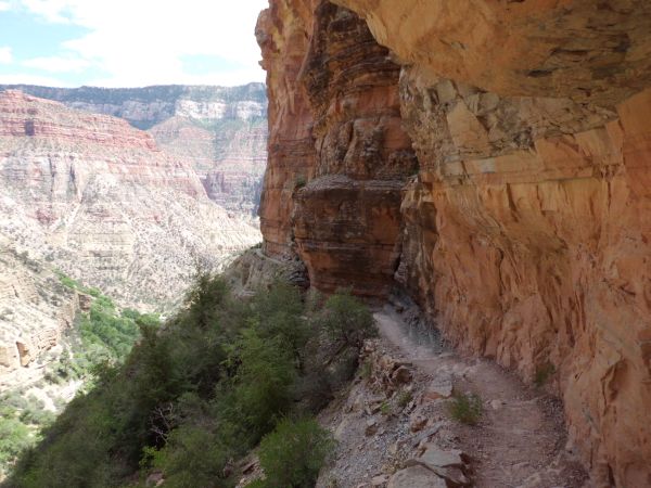
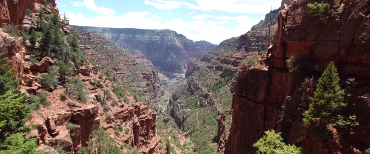
Looking back up the canyon at the scenery we had passed through:
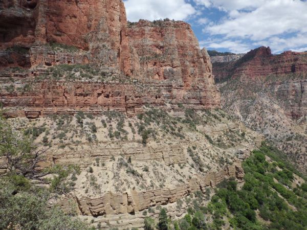
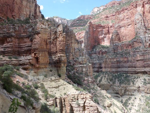
And looking across the way at the other side of the canyon:
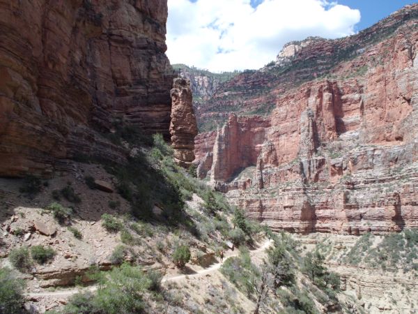
Catching sight of Mel as he hikes down the North Kaibab Trail:
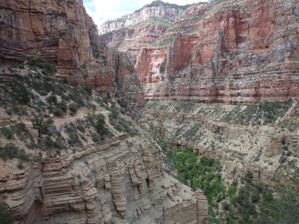
If you look to the left, you can see the trail as it passes above an area of rocky cliffs:
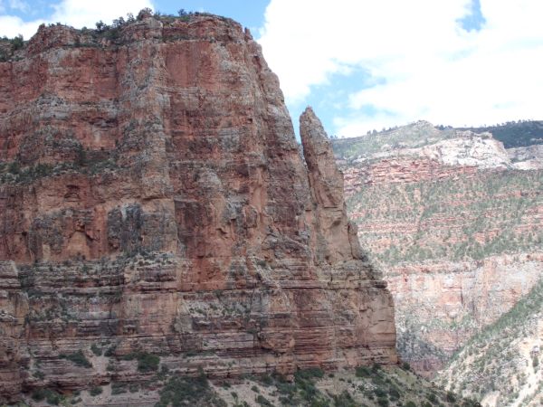
Notice how the elements have created this freestanding pinnacle separate from the rest of the mountain:
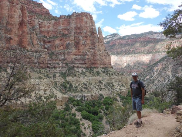
Steve getting a picture at this spot on the trail:
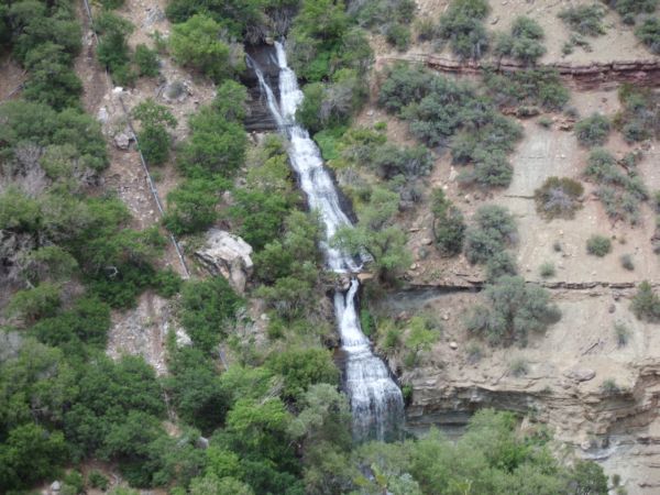
First close-up view of Roaring Springs:
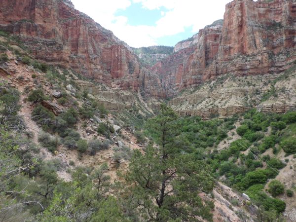
Looking back up canyon with some wire visible in the picture:
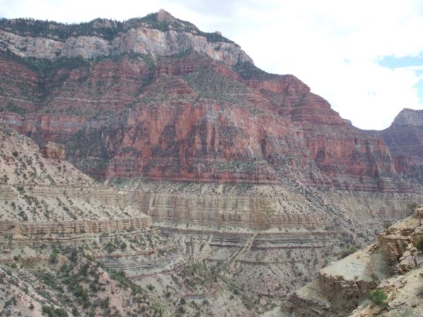
Farther down canyon we could see the junction with Bright Angel Canyon:
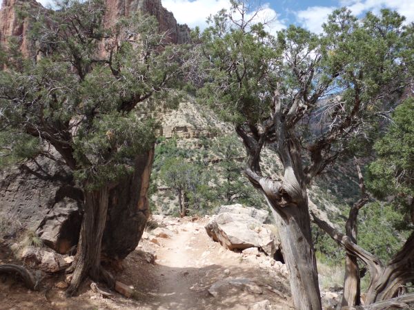
Passing between a couple of trees on the trail which provided some nice shade for a break:
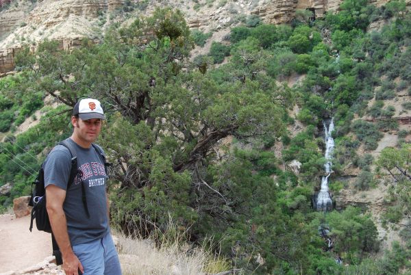
Two pictures of Steve taken with Roaring Springs in the background:
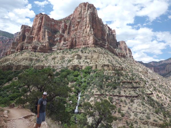

A straight on view of Roaring Springs. For those expecting to get any closer to Roaring Springs, don't count on it. Reaching it requires extensive off-trail scrambling:
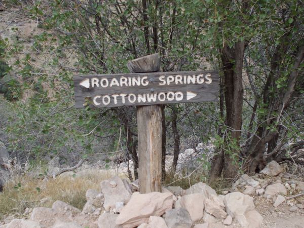
Here is the turn-off for Roaring Springs. The goal at this point is to reach the creek, rest area, and picnic table, not Roaring Springs
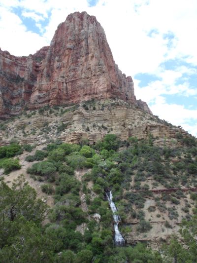
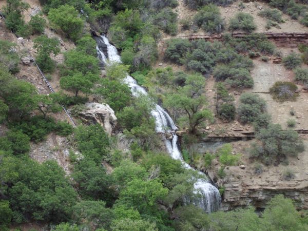
Two final views of Roaring Springs taken from a different angle:
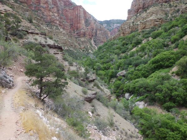
Now that we are past Roaring Springs with no easy way to reach it (and the park service probably doesn't want you going there anyway), we continued hiking toward the creek:
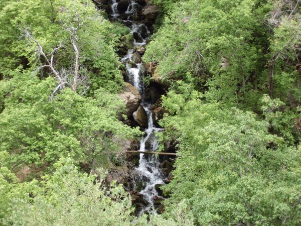
One of the smaller cascading creeks we passed by:
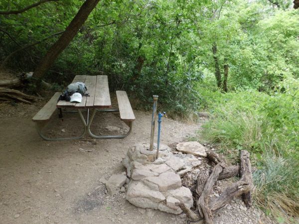
And we reached our lunch area where we relaxed for half an hour. The elevation here is 5,220 feet:
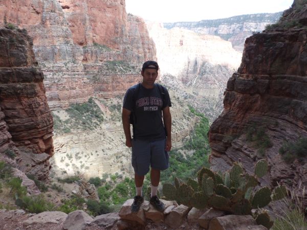
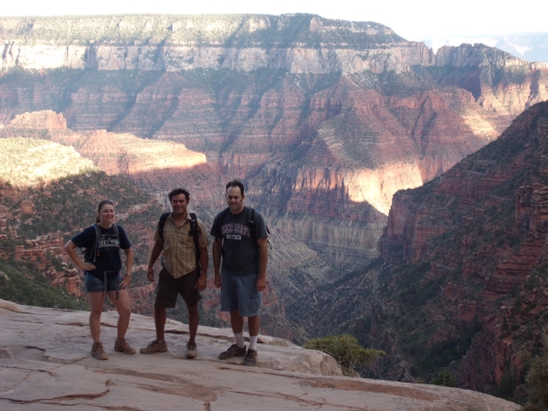
On the way back up, Steve got this picture with the Grand Canyon scenery in the background and a Prickly Pear to the right:
Tiffany, Mel, and Steve back at Coconino Overlook with the sun setting:
